“Have we got a frog?”
Hayden Yip’s voice displays his excitement as he’s suddenly off and running through a field on the southern outskirts of Saskatoon, giving chase to a fast-moving but tiny creature in the tall grass.
Moments later, his initial enthusiasm disappears as Yip discovers it is a mouse – and not the rare frog that he was hoping for, and had not seen all summer.
Moments like these are all part of the daily work that Yip undertakes in the course of completing habitat assessments along the proposed corridor for the Saskatoon Freeway.

In this role, Yip – an aquatic biologist with SNC-Lavalin – visits areas along parts of the proposed corridor where satellite mapping shows there is the likelihood of plants, animals, birds or wetlands that may need to be protected.
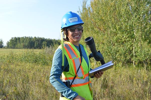
Yip starts his day by printing the satellite maps that helped him choose the locations he needs to visit along the route. Those maps become his workbook in the field, where he makes notes on what he sees and hears.
The results of these observations will ultimately help determine if a particular area will merit a more detailed environmental study as the Saskatoon Freeway gets closer to its construction phase. Any follow-up studies would be conducted by dedicated experts in the specific aspect of the local habitat that was being impacted.
Yip’s current habitat assessment work requires him to have a broad but comprehensive knowledge of the birds, animals, plants and wetlands he might encounter during his field visits, so he can complete as thorough an inventory as possible while on the land. Yip says there is nothing that can replace the value of the information gathered through a personal visit; because satellite images can be up to 3 to 4 years old, Yip finds that some wetlands or other land features he was expecting to find during his visits no longer even exist.

On a typical day, Yip will walk between 8-10 km and visit between 4-5 quarter sections of land. The work requires an early start; to make sure all wildlife is documented, Yip is on the land by sunrise.
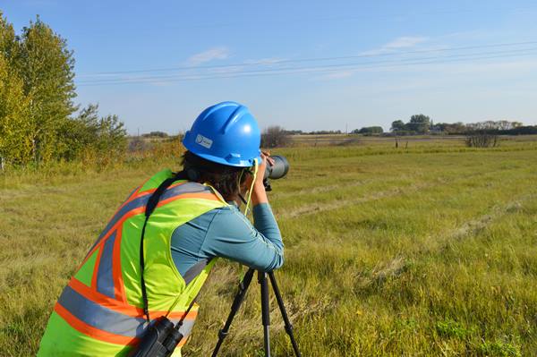
Early on a mid-September morning, Yip stops at a wetland and gets out his telescope to scan for wildlife. He also takes note of the plants growing in and around the wetland. The fact that there are no plants growing in the middle of the wetland at this time of year leads him to conclude that it is a fairly deep body of water – something he will note on his site map as a reason to return to this site for additional assessment prior to construction.
Yip may spend most of his days in the field, but he is not alone – he is part of a team that includes two other field workers and two office staff. Together, this team’s job will be to turn the data gathered during field visits into a comprehensive report recommending which areas on the route require further environmental study.